Transforming urban inspection
Detect, analyze and decide: the solution for territorial control
Detect, analyze and decide: the solution for territorial control



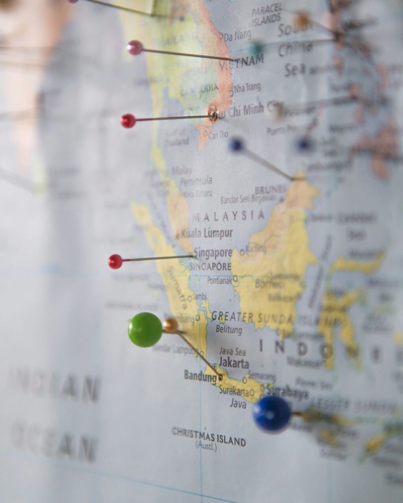
Simplifies land surveying with automated detection of land changes and faster decisions
Identifies changes in the territory with detailed analysis and reliable data
Reduces time by generating draft reports ready for review
GeoInspecta improves every step of the urban planning process, from change detection to reporting, making land management more efficient, transparent and reliable.
Get to know the tools that make GeoInspecta your ally in urban inspection

Compare orthophotos at different times to identify relevant territorial changes.

Relate the changes detected with the applicable urban planning regulations.

It cross-checks data with municipal databases to verify licences and previous actions.

Generates ready-made drafts for easy review by officials.

It allows a constant control of the territory, detecting irregularities in time.
It documents the entire process, ensuring clear access to information.
Quickly resolve your concerns
GeoInspecta compares orthophotographic images from different points in time, automatically identifying modifications such as buildings, subdivisions or changes in land use.
No, we provide clear draft reports that facilitate review by officials.
GeoInspecta combines high-resolution imagery, municipal databases and urban planning regulations to provide a complete and accurate analysis.